Showing results 1 to 10 of 1873
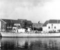
Museum Ref No: Bristowe2_255Bolson's boat "Dunkirk" alongside quay; Yeatman's mill and H and M Burden in background.
From the Ernest Bristowe collection.
Photograph
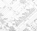
Extract from Ordnance Survey 9.21
Map
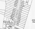
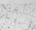
Extract from Ordnance Survey XL1V.9
Map
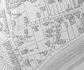
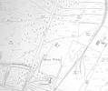
Extract from Ordnance Survey XL111.16
Map
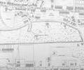
Extract from Ordnance Survey XL111.16
Map
Extract from Ordnance Survey XL1V.9 1902
Map
Extract from Ordnance Survey XL1V.10
Map
Extract from Ordnance Survey XL1V.10
Map
Extract from Ordnance Survey XL1V.10
Map
Extract from Ordnance Survey XL1V.10
Map