Showing results 71 to 80 of 1873
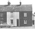
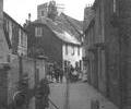
Museum Ref No: D_Ballard_Road_0001Ballard Road, three cottages known as Purbeck View. Corner with Stanley Road to right.
Photograph
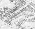
Extract from Ordnance Survey XLIV.13
Map
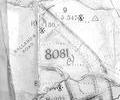
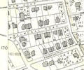
Extract from Ordnance Survey XL111.16
Map
Extract from Ordnance Survey XL111.16
Map
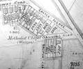
Extract from Borough Engineer's Plan 1952
Map
Extract from Ordnance Survey XL1V.10
Map
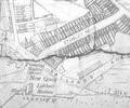
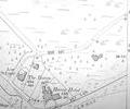
Extract from Ordnance Survey XL111.11 1901
Map
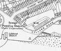
Extract from Ordnance Survey L1.5 1901
Map
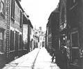
Museum Ref No: D_Barbers_Piles_0001Barbers Piles. Central drain and bollards.
Photograph
Museum Ref No: D_Barbers_Piles_0011Barbers Piles. Central drain.
Photograph