Showing results 101 to 110 of 1873
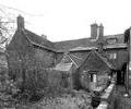
Museum Ref No: D_Bay_Hog_Lane_0005Bay Hog Lane, rear of No.7. Photograph by Barbara Bristowe
Photograph
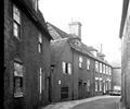
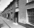
Museum Ref No: D_Bay_Hog_Lane_0006Bay Hog Lane.
Photograph
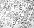
Extract from 1841 Plan
Map
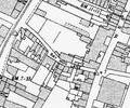
Extract from Ordnance Survey - 16.14
Map
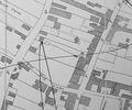
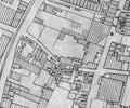
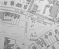
Extract from Ordnance Survey XL111.16
Map
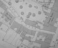
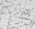
Extract from Ordnance Survey XL111.16
Map
Extract from Borough Engineer's Plan 1952
Map
Extract from Ordnance Survey XL1V.10
Map
Museum Ref No: D_Beaconsfield_Terrace_0001Beaconsfield Terrace. Photograph by Barbara Bristowe.
Photograph
Extract from Ordnance Survey XL1V.10
Map