Poole History Online is a free online database of photographs, documents and data relating to the local history of the Borough of Poole. This website is managed by Poole Museum and updated by staff and volunteers. Find out more
about this site.
If you experience any problems, please see the
help page.
Showing results 941 to 950 of 10844
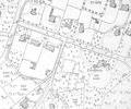
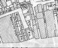
Extract from Borough Engineer's Plan 1952
Map
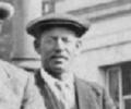
Morris Baker on a Poole Fishermen's Day outing to Winchester c.1920s
Photograph
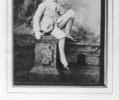
Museum Ref No: MA 1890A photograph of Robert Baker in fancy dress as Boy Blue. Taken from the Mayoress Album 1890.
Photograph
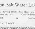
Boat lessons from 1929 Poole guide.
Picture
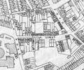
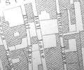
Extract from Ordnance Survey XL1V.10
Map
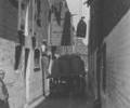
Museum Ref No: D_Ball_Lane_0001Ball Lane, warehouse. Loading sacks from/to a cart.
Photograph
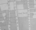
Extract from 1841 Plan
Map
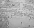
Extract from Ordnance Survey 16.14
Map
Extract from Borough Engineer's Plan 1952
Map
Extract from Ordnance Survey - 16.10
Map