Poole History Online is a free online database of photographs, documents and data relating to the local history of the Borough of Poole. This website is managed by Poole Museum and updated by staff and volunteers. Find out more
about this site.
If you experience any problems, please see the
help page.
Showing results 951 to 960 of 10844
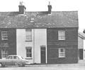
Museum Ref No: D_Ballard_Road_0001Ballard Road, three cottages known as Purbeck View. Corner with Stanley Road to right.
Photograph
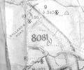
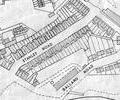
Extract from Ordnance Survey XLIV.13
Map
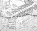
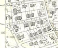
Extract from Ordnance Survey XL111.16
Map
Extract from Ordnance Survey XL111.16
Map
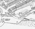
Extract from Borough Engineer's Plan 1952
Map
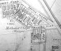
Extract from Ordnance Survey XL1V.10
Map
Extract from Ordnance Survey XL111.11 1901
Map
Museum Ref No: MA 1890A photograph of Ethel Balston in fancy dress as Yum-Yum. Taken from the Mayoress Album 1890.
Photograph
Museum Ref No: PEO B/ CARI Call to Mind by Herbert S. Carter, Poole, J. Looker, 1949. Illus. Plate 3 Collage
Alfred Balston, Henry Kenway Balston, Charles and William Carter
Book
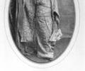
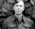
Museum Ref No: F2b_0012 det.Lt. H.W. Bance, O.C. 16 Pl., C.Coy., Poole A.Tk. Island Command, 3rd Dorset H.G., July 1944.
Photograph